Engine
The roadbook generated from your track
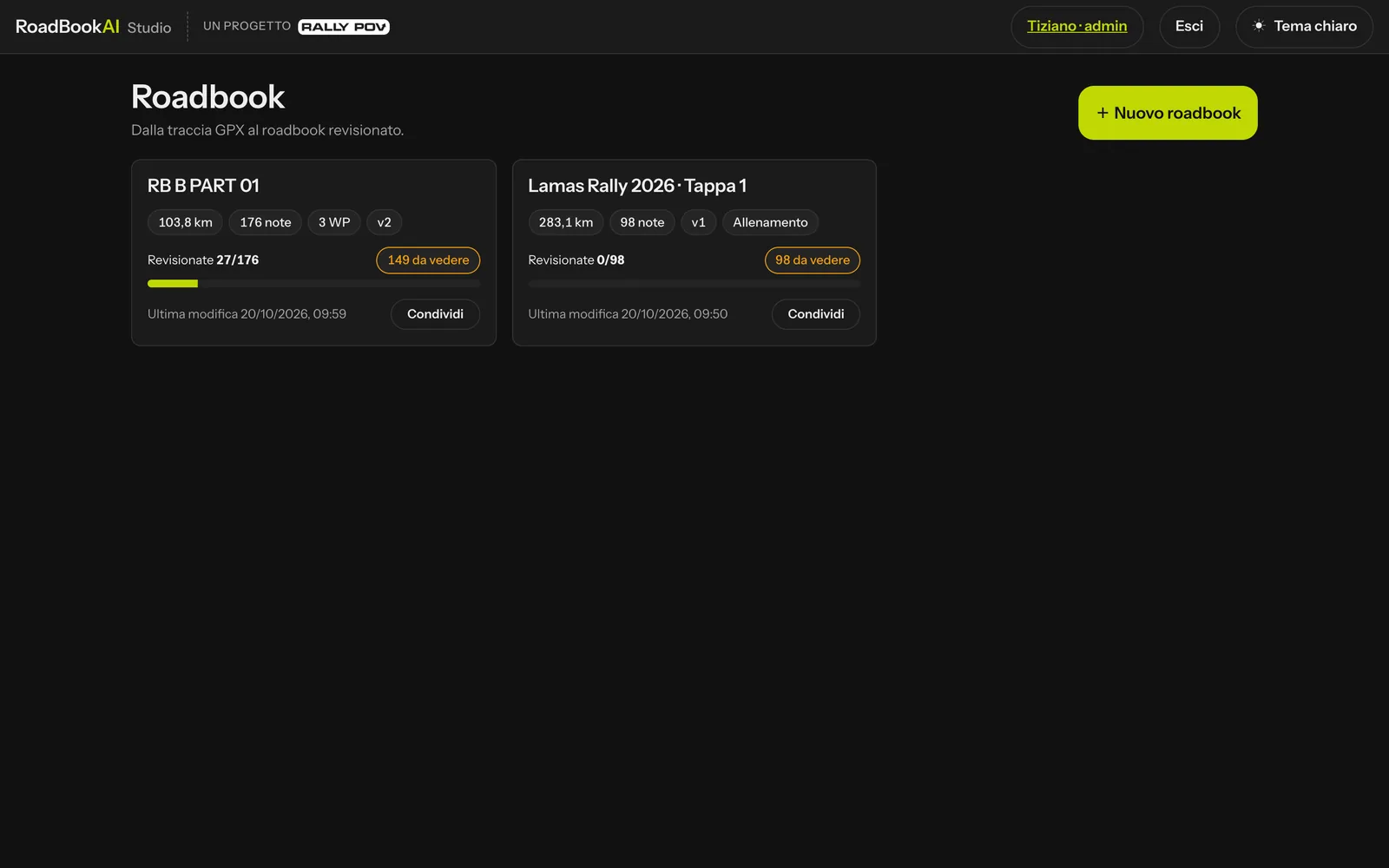
Upload the GPX, RoadBookAI proposes the notes. How it's done →
- Three densities: human (about 2 notes/km, like a hand-drawn roadbook, with FRO and FPP on the straights), dense (about 4/km, every junction) and Dakar (about 1/km, nearby events merged into "ET à X m" and CAP on every note).
- Roads and tracks read automatically for the whole area of the track, even on long stages.
- Realistic drawings: for every note, about 200 × 155 m of terrain around the point, with the direction of arrival at the top, the true shape of the track and nearby roads (asphalt as a double line, tracks as a single line), buildings and roundabouts.
- CAP only where it's needed at human density: start of an off-track section, exit onto a faint track, forks with at least three options; never on asphalt or in a village.
- Signs and cobbles: STOP and give way in the rider's direction of travel; when you come off a dirt road onto a more important road, a STOP (an event rule you can change). Cobbles with their own icon and length.
- Every note explains itself: source, confidence and reason.